
Blogs

ACTIVE & PASSIVE HYDROLOGICAL RESTORATION

A recent article in Coastal Review (a service of the North Carolina Coastal Federation) about the possibility of “farming carbon” in peatlands of northeastern North Carolina via carbon sequestration and trading and carbon trading markets caused me to revisit some work from my younger days—a frequent diversion for old codgers like me. Many of the pocosin wetlands were artificially drained by ditches and canals sometime between the 18thcentury and the 1980s, and the key to maximizing carbon sequestration there is restoring the wetland hydrology. Back in the 1980s I did some work on artificially drained peatlands in the region, and in the 1990s on other artificially drained farmland in eastern N.C. One of the bottom lines was that this is a case where passive restoration works.

MUCKING AROUND IN THE SWAMPS

As rivers flowing across the coastal plains of the Carolinas approach the coast and their estuaries they widen, split into multiple channels, and flows can slow or reverse as astronomical tides, wind tides, and storm surges downstream have their effects. And on their floodplain swamps, the sandy and muddy soils and sediments give way to organic mucks or peats.

Thorofare Island

NEW YEAR, NEW STRATH TERRACES

Fluvial (river or stream) terraces are former active floodplain or channel surfaces that become isolated from regular flow or inundation by downcutting (incision) of the channel. Alluvial terraces start as predominantly depositional floodplains, but as the river incises, they eventually become isolated from flooding and deposition in all but the largest, rarest floods. Strath terraces are erosional surfaces associated with former channel positions; again, separated from river flows by downcutting of the channel.

Polly's Bend

Polly’s Bend, Kentucky. The T1, T2, T3 areas are strath terraces in oldest-youngest order. Base map is shaded relief based on 1.5 m resolution digital elevation model. Area shown is about 2.7 km (north-south) by 2.5 km (east-west). Coordinates at center are 37.8022° N, 84.6472° W (Fig. 2 from Phillips, 2018).

UNDERWATER TREES

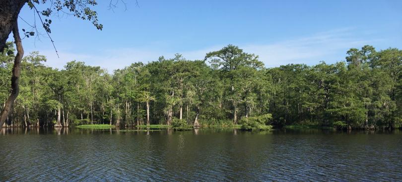
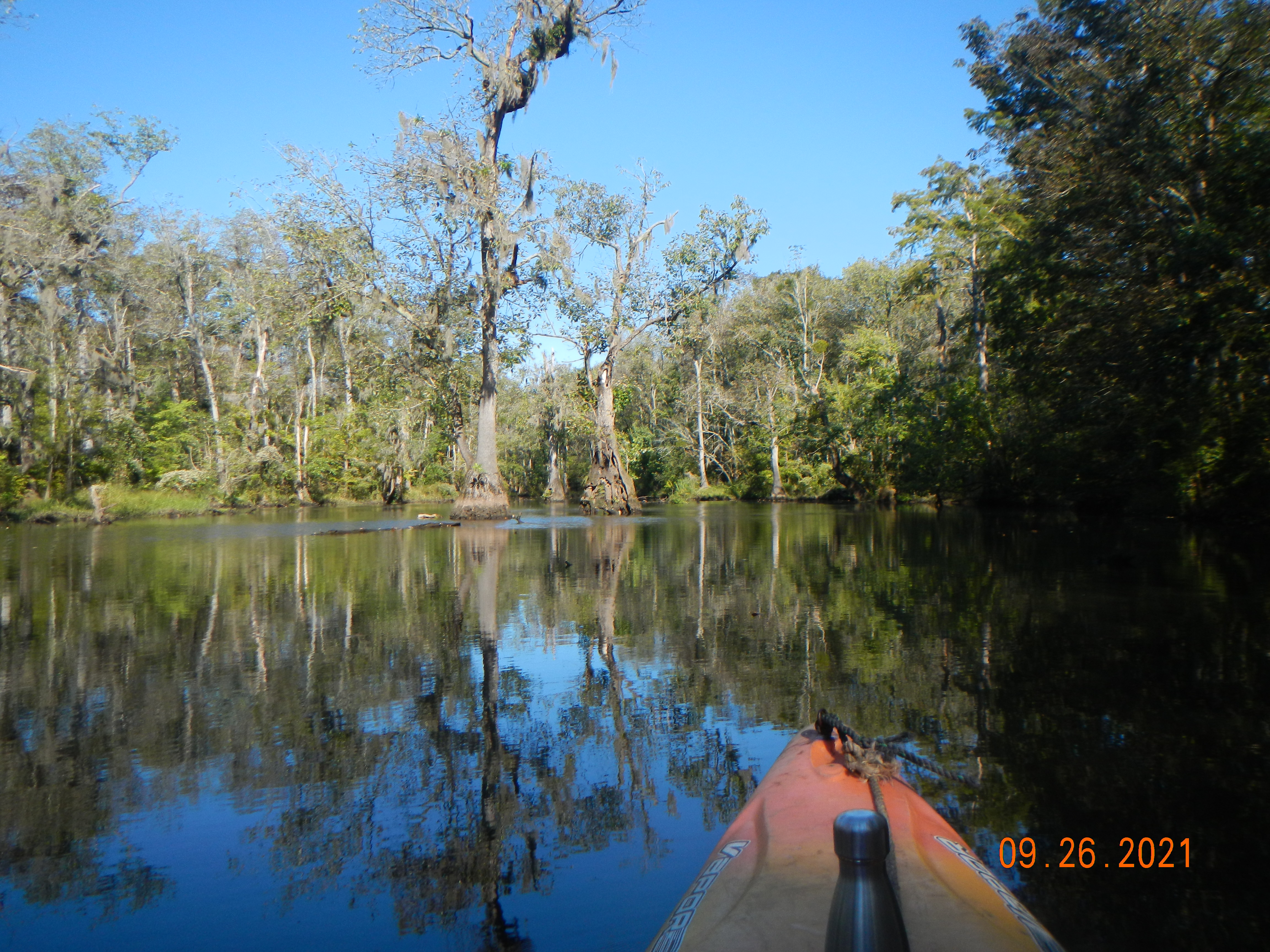
Tupelo gum and bald cypress (Nyssa aquatica and Taxodium distichum) are the main trees you are likely to find in perennially flooded deepwater swamps and stream channels in the southeastern U.S.A. Once established, they can grow in sites that are always inundated. However, they cannot germinate from seeds and establish seedlings in standing water. The substrate must be exposed at least once, at the right time of year, for that to happen. 

So how come you can find cypress and tupelo growing in perennially flooded areas, in standing water, that apparently never dry out? How do they get a start on the bottom of a stream or lake?

Pinetree Creek, an anabranch of the lower Neuse River, N.C.

The obvious answer is that they (or their parents, if they grew from stump sprouts or nurse logs) got their start when the site was not flooded, or always inundated, or that they got their start on some raised spot within the water that is no longer evident.

LESSONS FROM THE HOT SPOTS & COLD SPOTS

Last year, I wrote about how the warnings about human-accelerated climate change we’ve been hearing (and those of us in the business have been sending) for decades are, unfortunately, coming true. Almost daily, our news feeds remind us of this, or provide new evidence that Earth’s climate, and the environmental systems affected by it, are approaching unknown territory. We are seeing ocean temperatures, ice loss from the great Antarctic and Greenland ice sheets, storm and flood regimes, heat waves, and fires that are unprecedented in human history and in some cases unprecedented in Earth history, period. 

National Weather Service heat warnings for California


ESL: ENGLISH AS THE SCIENTIFIC LANGUAGE

As much as we’d like to think otherwise, the facts (data, analyses, results, observations) do not speak for themselves. As scientists and educators, we are obliged to explain and interpret the facts; to attach meaning to them. As things have come to pass in the scientific world, we are obliged to speak for the facts in English. 

This post was inspired by a discussion posted on researchgate.net by Alejandro Bortolus of the Centro Nacional Patagonico (Argentina): Is the use of English in scientific articles a real need for an international working language, or a sign of long-lasting Colonialism? The lively discussion can be accessed here.

You can’t rely on me for a comprehensive and coherent summary of the comments and reactions, but some key themes are:

•The (obvious) advantages of having a single lingua franca to support global scientific communication. 

•The (obvious) advantages of respecting and preserving local languages and multilingualism, and allowing authors and scientists to communicate at their best, which is usually in our native languages.

CAN FORESTS BUILD ARGILLIC HORIZONS?

Spoiler alert--the answer is: maybe, but I’m not sure.

Argillic horizons are subsoil layers that are enriched in silicate clays. I have long been interested in soil morphology as it relates to argillic horizons. First, it was with respect to soil erosion. As these horizons are by definition formed below the surface, their exposure at or near the ground surface indicates removal of overlying soil. To the extent soils have a characteristic depth, or range of depths, to the top of the argillic horizon, then variations in DTA (depth to argillic) can indicate erosion or deposition. I used this to study soil erosion in the North Carolina coastal plain and piedmont in the late 1980s and 1990s, and in the Ouachita Mountains of Arkansas in the 2000s and 2010s.

Multiple argillic horizons in a Kandiustult in Zambia (source: https://www.uidaho.edu/cals/soil-orders/ultisols).