
geoscience

Circular Reasoning

Scientists, including geographers and geoscientists, are easily seduced by repeated forms and patterns in nature. This is not surprising, as our mission is to detect and explain patterns in nature, ideally arising from some unifying underlying law or principle. Further, in the case of geography and Earth sciences, spatial patterns and form-process relationships are paramount.

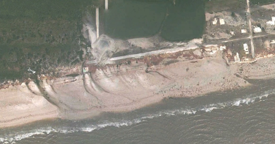
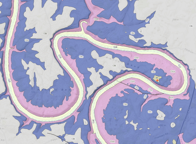
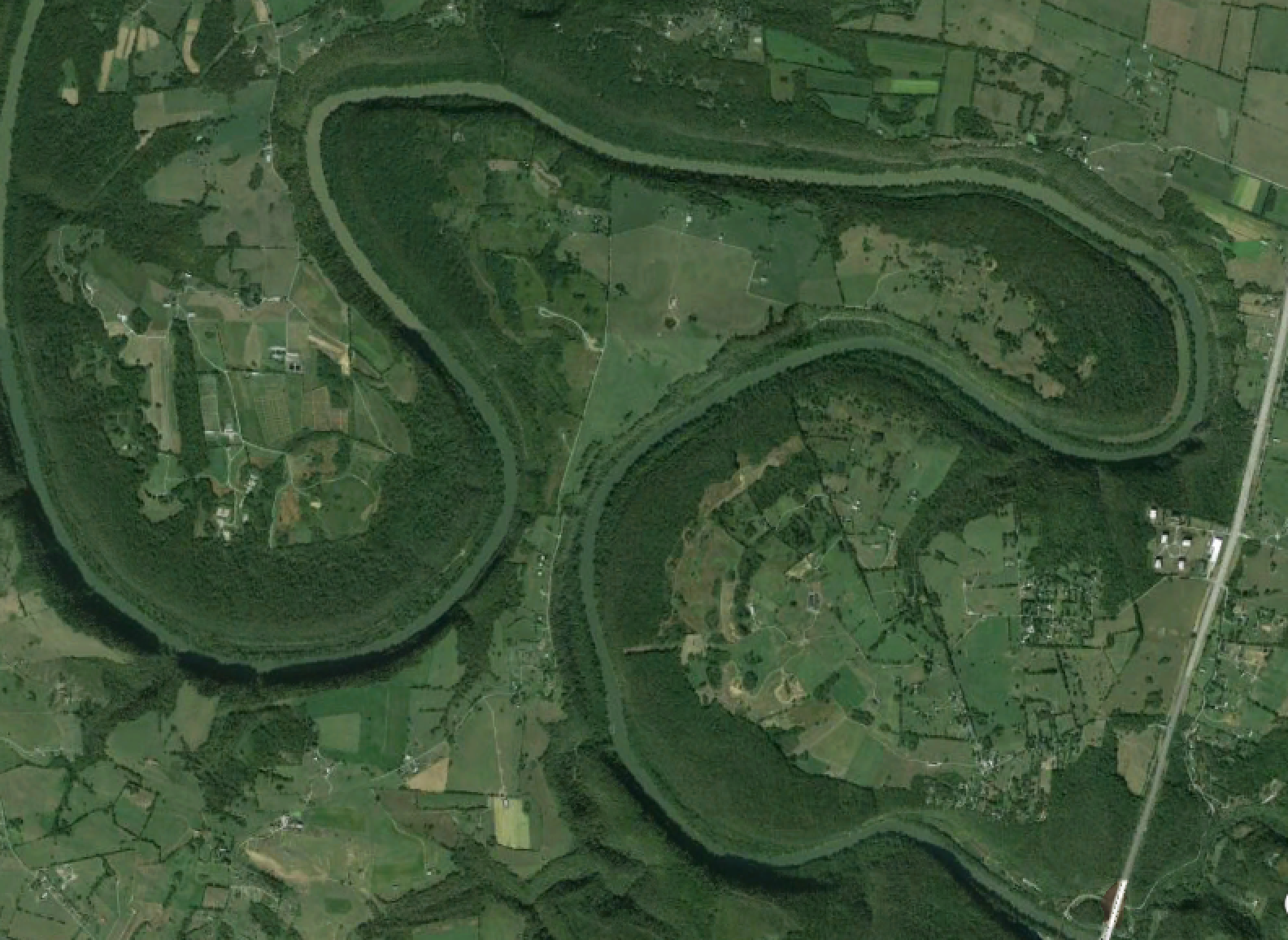
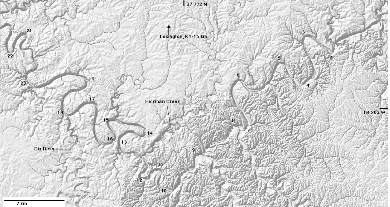
Unfortunately, the recurrence of similar shapes, forms, or patterns may not tell us much. Over the years we have made much of, e.g. logarithmic spirals, Fibonacci sequences, fractal geometry, and power-law distributions—all of which recur in numerous phenomena—only to learn that they don’t necessarily tell us anything, other than that several different phenomena or causes can lead to the same form or pattern. The phenomenon whereby different processes, causes, or histories can lead to similar outcomes is called equifinality.

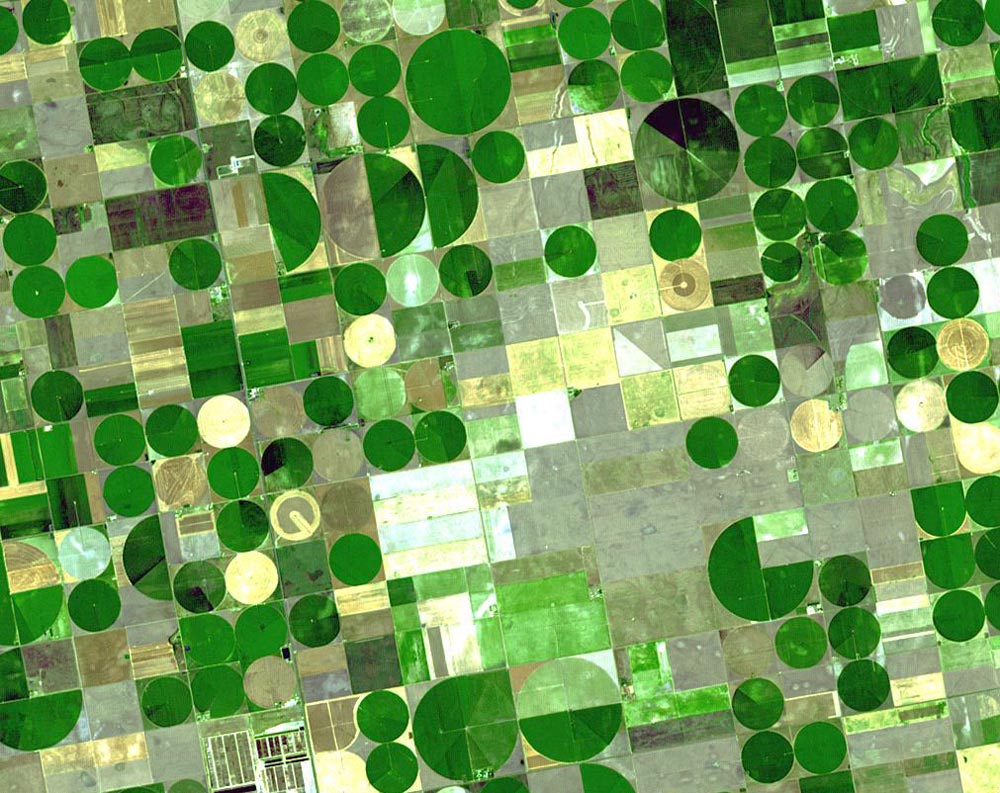
Center pivot irrigation in Kansas, USA (USGS photo).

Disturbing Foundations

Some comments from a reviewer on a recent manuscript of mine dealing with responses to disturbance in geomorphology got me to thinking about the concept of disturbance in the environmental sciences. Though the paper is a geomorphology paper (hopefully to be) in a geomorphology journal, the referee insisted that I should be citing some of the “foundational” ecological papers on disturbance. These, according to the referee, turned out to be papers from the 1980s and 1990s that are widely cited in the aquatic ecology and stream restoration literature, but are hardly foundational in general.

Consideration of the role of disturbance goes back to the earliest days of ecology, and is a major theme in the classic papers of, e.g., Warming, Cowles, and Clements in the late 19th and early 20th centuries. A general reconsideration (“reimagining” is the term many would use, but I’ve grown to hate that overused word) of the role of disturbance in ecological systems was well underway by the 1970s, and the last five years or so have seem some very interesting syntheses of these emerging ideas (two I especially like are Mori, 2011 and Pulsford et al., 2014).

Bank Full Of It

Fluvial geomorphologists, along with hydrologists and river engineers, have long been concerned with the flows or discharges that are primarily responsible for forming and shaping river channels. In the mid-20th century it was suggested that this flow is associated with bankfull stage—the stage right at the threshold of overflowing the channel—and that this occurs, on average, about every year or two in humid-climate perennial streams. If you have to choose just one flow to fixate on—and sometimes you do, for various management, design, and assessment purposes—and have no other a priori information about the river, bankfull is indeed the best choice. But, of course, nature is not that simple.

Fluviodiversity

One of the classic principles/relationships in biogeography is called the species-area curve, relating the number of different species found (usually of some particular taxonomic group; e.g., birds or plants) to the area sampled. These curves are usually well fit by an exponential relationship:

S = c A b

where S is the number of species, A is area, c is a constant representing the number of species in the smallest area sampled, and b represents the rate of increase of species with area. While b could be greater than 1 if major biogeographical boundaries are transgressed (so that whole new sets of species are encountered), otherwise b < 1, and usually much less; 0.25 is a fairly common value.

Juanjo Ibanez and I (in separate studies) found that similar trends apply to soil diversity, with S in this case indicating number of different soil types (e.g., soil series). In his very broad scale analyses, Juanjo also found b » 0.25, while in my landscape-scale studies b was in the range of 0.6.  Syntheses of this work are found in the book Pedodiversity (CRC Press, 2013) edited by Ibanez and James Bockheim.

The Curious Expansion of Polly's Bend

Though the meander bends in the Kentucky River gorge area are considered to be mostly inherited (i.e., they were there before the river began downcutting about 1.5 million years ago), they are not static features. This continues a previous post looking at Polly’s Bend.

Geologic map of Polly’s Bend (from Kentucky Geological Survey’s Geologic Mapping Service). Ollr, Oto, Ocn are all Ordovician limestones. Qal is Quaternary alluvium, and the stippled pattern with the red + is Quaternary fluvial terrace deposits. Polly’s Bend is about 5 km in maximum width.

Polly’s Bend: Initial Conditions

South of Lexington and north of Danville, Kentucky, the Kentucky River makes a major turn from a generally SW to NW direction. Shortly downstream, there is a compound “gooseneck” meander bend called Polly’s Bend.

Google EarthTM image of Polly’s Bend. The maximum width from tip to tip is ~ 5 km.; minimum width of the neck is ~ 350 - 400 m. 

While not the norm, such tight bends are not uncommon in winding alluvial rivers, and will eventually be cut off during a flood, when the channel cuts across the narrow neck. Polly’s Bend, however, is entrenched in bedrock. The narrow neck (and the rest of the bend) has more than 100 m of solid limestone bedrock to cut through. So a classic meander cutoff, with flow going overbank across the neck and cutting a new channel; that ain’t gonna happen.

Romantic Geomorphology, part 2

This continues my previous post, toying with the notion of what a Romantic geomorphology would be like. This is based on the Romantic movement in art, literature, and science, rather than the more common meanings related to amourness and love, or to unrealistic idealism. Though, come to think of it, maybe Romantic geomorphology in those terms is also worth thinking about . . . .

Anyway, in the earlier post I noted that Daniel Gade’s book, Curiosity, Inquiry, and the Geographical Imagination (Peter Lang publishers, 2011) proposed 14 tenets of the Romantic imagination as it relates to research. Eight of them, in my view, apply readily to geomorphology and geosciences in general, though certainly not all practitioners display or even aspire to all of these traits.  Six others need a bit more dissection.

Search for the Exotic

Romantic scholars are drawn to anomalies and dissimilitudes. “Extreme, bizzare or grotesque patterns of the world held an uncanny attraction for the Romantic mind,” Gade writes. We can assume he refers to something beyond the interest in oddities and extremes that pretty much all humans share. He writes of research that purposefully seeks out exotic locations and situations.

Why Them? Why There?

In Johnson County, Kentucky, today, lots of people along Patterson Creek are wondering “why me?”  A flash flood Monday (July 13) tore through that eastern Kentucky community, leaving three people dead, a dozen missing at one point, and destroying about 150 homes and who knows how many cars, barns, etc. (news story).

As a Kentuckian, and as a veteran of a couple of hurricanes back in 1996 in North Carolina, I sympathize with wondering why you, or your community, got hit while others didn’t. As a geomorphologist and hydrologist who was worked on flash flooding in the southern Appalachians, I also wonder about the scientific aspects—why the severe flood event in this particular location?

Make no mistake—the area around Flat Gap is not the only one in Kentucky that has gotten a lot of rain recently, and high water, runoff, soil erosion, and filled-up sinkholes are common lately throughout eastern and central Kentucky. But why the much more severe flooding at Patterson Creek?

Did they get more rain?

Landforms as Extended Composite Phenotypes

The online version of my new article exploring biogeomorphology from the perspective of niche construction and extended phenotypes is now out. The abstract is below. I appreciate my colleague Daehyun Kim encouraging me to stick with some of the more speculative and provocative ideas here. I was about to back off from them at one point, but he encouraged me to go for it.

Reference: Phillips, J.D. 2015. Landforms as extended compositive phenotypes. Earth Surface Processes and Landforms DOI: 10.1002/esp.3764.


Romantic Geomorphology

In common parlance, romantic typically refers to the pursuit of love and affection, or to an idealistic, unrealistic outlook. The definitions of romantic as idealistic often includes synonyms such as dreamy, starry-eyed, impractical, and Quixotic, and may list realistic as an antonym. However, Romanticism (typically indicated with the capital R to distinguish it from other usages) as a movement of the late 18th and early 19th century applied to science as well as to art and literature. Lately I’ve stumbled across a few things that made me want to play with the idea of what a Romantic geomorphologist would be like.

Subscribe to geoscience