
1st Research + Creative Experience Expo Coming to UK
By Jesi Jones-Bowman
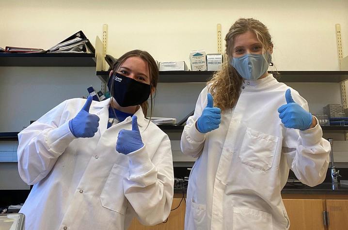
UK undergraduate researchers Bridget Bolt and Gretchen Ruschman. Students are encouraged to explore undergraduate research opportunities at the Research + Creative Experience Expo.
At the University of Kentucky, undergraduates have access to outstanding research and creative work activities led by world-class faculty and staff that promote self-discovery, experiential learning and lifelong achievement.
Harrison and Eva Lewis Bailey Distinguished Alumni Lecture
 This is Not the America I Know:
Reading Anti-Blackness within American Landscapes
During and after the siege on the US Capitol by white supremacists on January 6, 2020, the trope “This is not the America I know” resounded from media commentators, politicians, and the social media accounts of millions of everyday Americans. According to this narrative, the assault deviated from our nation’s image as a racial melting pot. Yet, as many African Americans recognized, the January 6th siege was part of a larger continuum of spatial violence in which white supremacy is sanctioned by the state and marks public and private spaces as the property of whiteness. The “this is not the America I know” narrative thus exposes what I refer to as the white unseen--an intentional thought pattern and epistemological process in which acts of white violence and the everyday terrors, trauma, and tensions faced by Black, Indigenous, and People of Color (BIPOC)--that renders white racial violence invisible. This chapter examines white racial violence as one of many white supremacist place-making practices that are shaped by and reshape the American landscape.
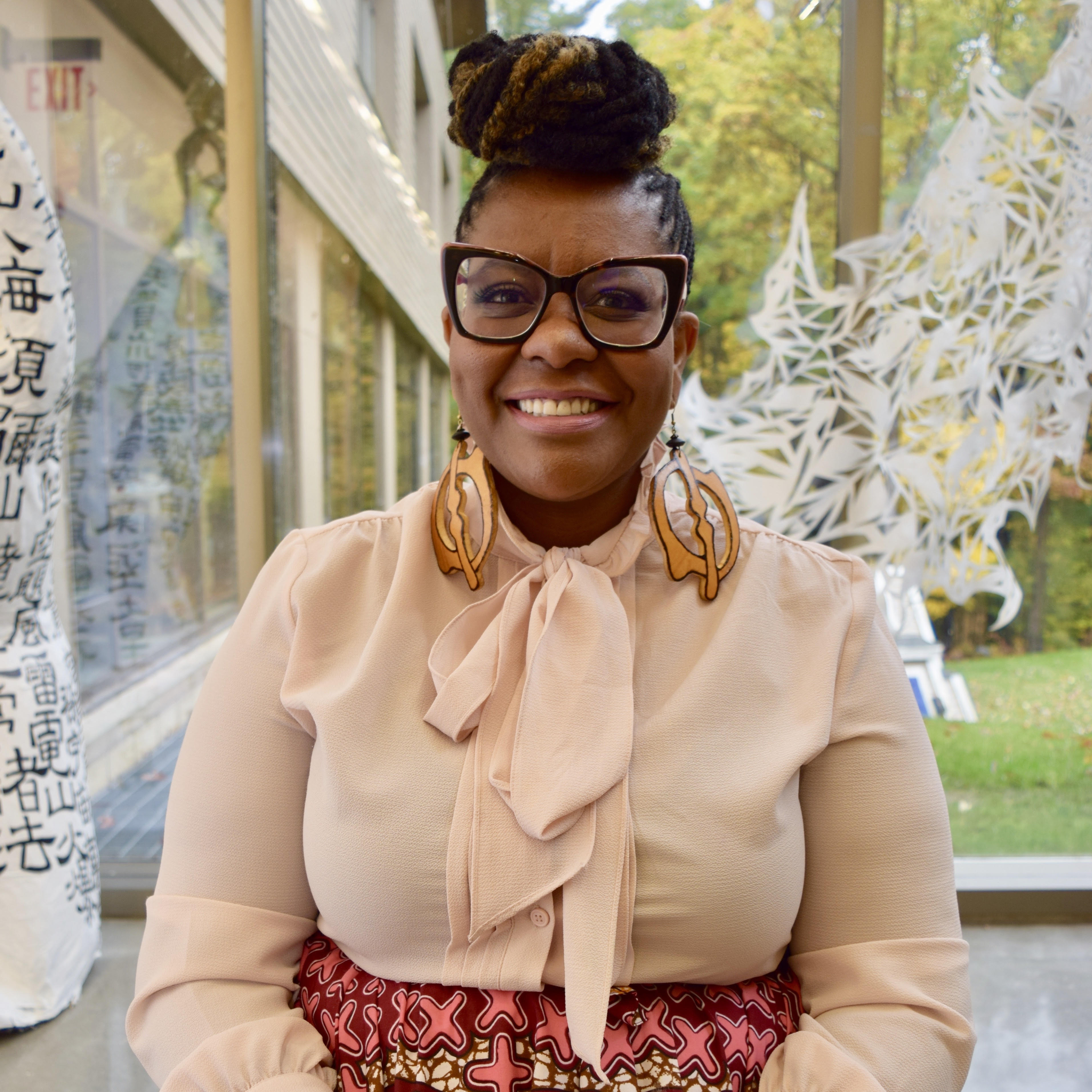
Dr. Aretina Hamilton is a Cultural Geographer whose work explores the intersection of Anti-Blackness, racial trauma, violence and place-making. As a public scholar, her research examines the place-making practices of African Americans and re-conceptualizes cartographies of anti-Blackness. Her dissertation project, Black Queer Cartographies, which is under contract with UNC Press, explores the physical and symbolic spaces of exclusion and belonging for Black lesbians in Atlanta, Georgia. She argues that African American lesbians in Atlanta created a queer palimpsest, or a multi-tiered space that challenged the dominant culture’s erasures of Southern Blackness and queerness.
As one of the founding members of the Black Geographies Speciality group, her work is also deeply invested in the creation of Black epistemological thought, Black place-making in the academy, and the creation of Black radical spaces. In the wake of the murders of George Floyd and Breonna Taylor, Dr. Hamilton has been writing and speaking widely about racialized trauma within the academy and the everyday sites of intellectual violence.
Dr. Hamilton received her Ph.D. in Geography from the University of Kentucky with a Certificate in Gender and Women's Studies. Currently, she is the Director of DEI Programs, Training, Education, and Development at Brandeis University.
Date:
Location:
WT Young Library Auditorium
THE GEOMORPHOLOGICAL VOICE OF THE BIOSPHERE
Vernadsky (1926) developed the concept of the biosphere as a planetary membrane that captures, stores, and transforms solar energy. The proportion of solar energy captured by the biosphere is small compared to that represented by climate processes, but large compared to other energy sources for landscape processes A tiny fraction of net primary productivity doing pedologic and geomorphic work (e.g., bioturbation, bioweathering, bioerosion, organic matter formation) is (as a global average) a greater energy input for landscape evolution than geophysical processes (Phillips, 2009a).
The soil and the biosphere have been characterized as an “excited membrane” or skin at the planetary surface stimulated by solar energy (Vernadsky, 1926; Nikiforoff, 1959). Can other aspects of landscapes—particularly landforms and topography—be characterized as an “excited membrane?”
AVULSIONS, STABILITY, AND SCALE
Alluvial rivers are dynamic, and often characterized by lateral migration, formation and eventual abandonment of meander loops, formation of anabranches or distributaries, and relatively abrupt shifts in channel courses. An understanding of river behavior, and effective management of resources in alluvial valleys, requires some understanding of the conditions under which these phenomena occur, and of the relationship between local and broader, reach-scale changes. This can be approached via the concept of dynamical stability.