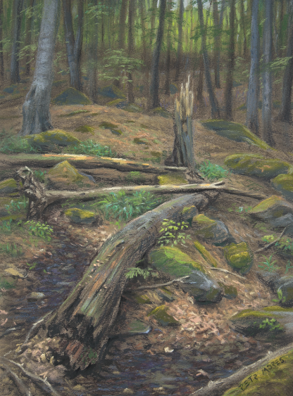
INSTABILITY & COMPLEXITY IN BANK EROSION
River and stream bank erosion is normally assessed—including studies I was involved in--by reaches. That is, the erosional (or stable or accreting) status is assessed along sample reaches of a certain length (e.g., 100 m long segments), or lengths of shoreline are classified—e.g., a 40 m erosional stretch, a 120 m stable stretch, 30 m accreting length, etc. Or, where rates are measured, they are presented (not illogically) as mean or characteristic values for a reach. They are also generally averaged over time—so, for example, if the bank retreated 1 m in a decade, a rate of 0.1 m yr-1 is reported. Again, in many cases that is entirely reasonable, as (depending on the study design) there is often no way of knowing for sure if the erosion occurred at a more-or-less steady rate, all in one flow event, or somewhere in between. For some alluvial streambanks, there also exists uncertainty as to whether the observed retreat represents nothing but erosion, as opposed to net erosion—for instance, 1.5 m of retreat over 10 years, offset by 0.5 m of accretion somewhere during that time.
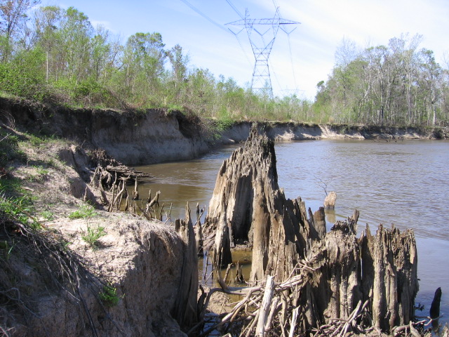
Eroding banks, Old River, Louisiana.