Harrison and Eva Lewis Bailey Distinguished Alumni Lecture
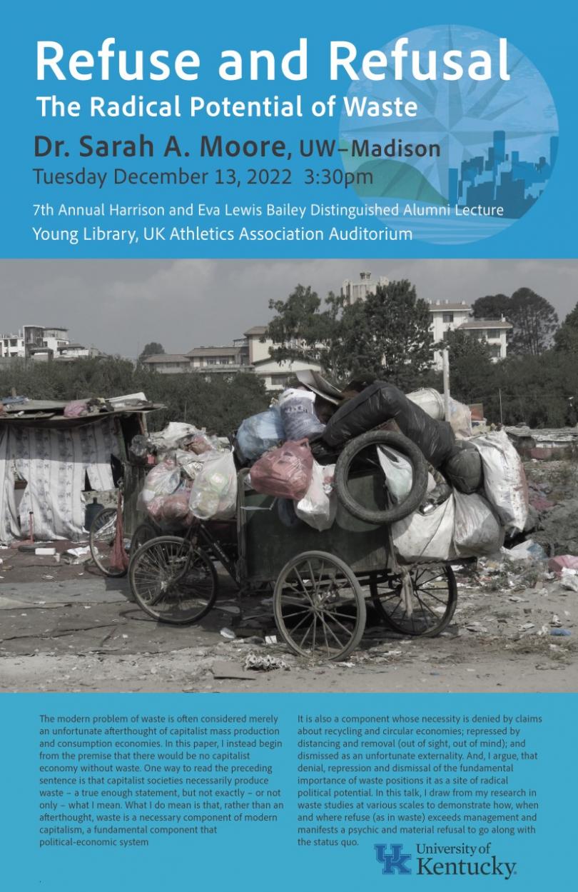
Please join us for our 7th Annual Harrison & Eva Lewis Bailey Alumni Lecture. Our distinguished alumni, Dr. Sarah Moore (UW-Madison), will return to present "Refuse and Refusal: The Radical Potential of Waste". Learn more here.
A reception will take place after the lecture at Commonwealth House of the Gaines Center for the Humanities, located at 226 E Maxwell St, Lexington, KY 40508.
Date:
-
Location:
W.T. Young Library, UK Athletics Association Auditorium followed by reception in Commonwealth House, Gaines Center