Geography Welcomes Carolyn Finney
The Department of Geography is proud to announce that Carolyn Finney will be joining the department's faculty this fall.
The Department of Geography is proud to announce that Carolyn Finney will be joining the department's faculty this fall.
As I write, there is flooding in central Texas, and more to come. The focus is rivers and creeks in the San Antonio and Guadalupe River systems in the Balcones Escarpment area along the San Antonio-Austin Corridor, with effects beginning to felt downstream.
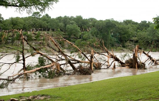
Destroyed trees along banks of the Blanco River, Wimberly, TX, after the flood of 24 May, 2015 (photo by Jay Janner, Associated Press).
In the late 19th and early 20th century, William Morris Davis popularized the concept of the peneplain, an extensive low-relief erosion surface graded to sea level. Peneplains were strongly associated with Davis’ cyclical model of landscape evolution, which fell out of favor with most geomorphologists decades ago. By association, the discussion and study of peneplains also fell out of favor.
But peneplains are making a comeback. This is best illustrated by a report from the Geological Survey of Denmark and Greenland (Green et al., 2013), though the ideas and evidence are also laid out in a number of journal articles by the various co-authors. The report is concerned with development of elevated passive continental margins (think of, e.g., the Great Escarpment of Africa, the eastern Australian highlands, or the main subject of the report, west Greenland). The arguments are strongly dependent on the identification and interpretation of planation surfaces. As these planation surfaces are low-relief, regionally extensive, and are eroded across geological materials of varying resistance, and because the authors present evidence that they were originally graded to sea-level (they were subsequently uplifted), they can be legitimately referred to as peneplains.
On Saturday, May 9, thousands will fill Rupp Arena to celebrate the University of Kentucky Class of 2015.
The Froude number is a hydraulic parameter often used to relate aquatic habitats and biotopes to flow intensity. Independently of some trenchant critiques (see, e.g., Clifford et al. 2006), there seems to be no inherent hydrological, geomorphological, or ecological reason that the Froude number (Fr) should be the best indicator of habitat or ecological niches.
Fr is a dimensionless number that describes flow regimes in open channels and is unquestionably useful in many aspects of hydrology, geomorphology, and engineering. It is the ratio of inertial and gravitational forces:
Fr = V/(g d)0.5
Fr < 1 indicates subcritical or tranquil, and Fr > 1 supercritical or rapid flow. But variations in Fr within the subcritical range (where it typically falls) can be significantly related to, e.g., geomorphic units and habitats within channels.
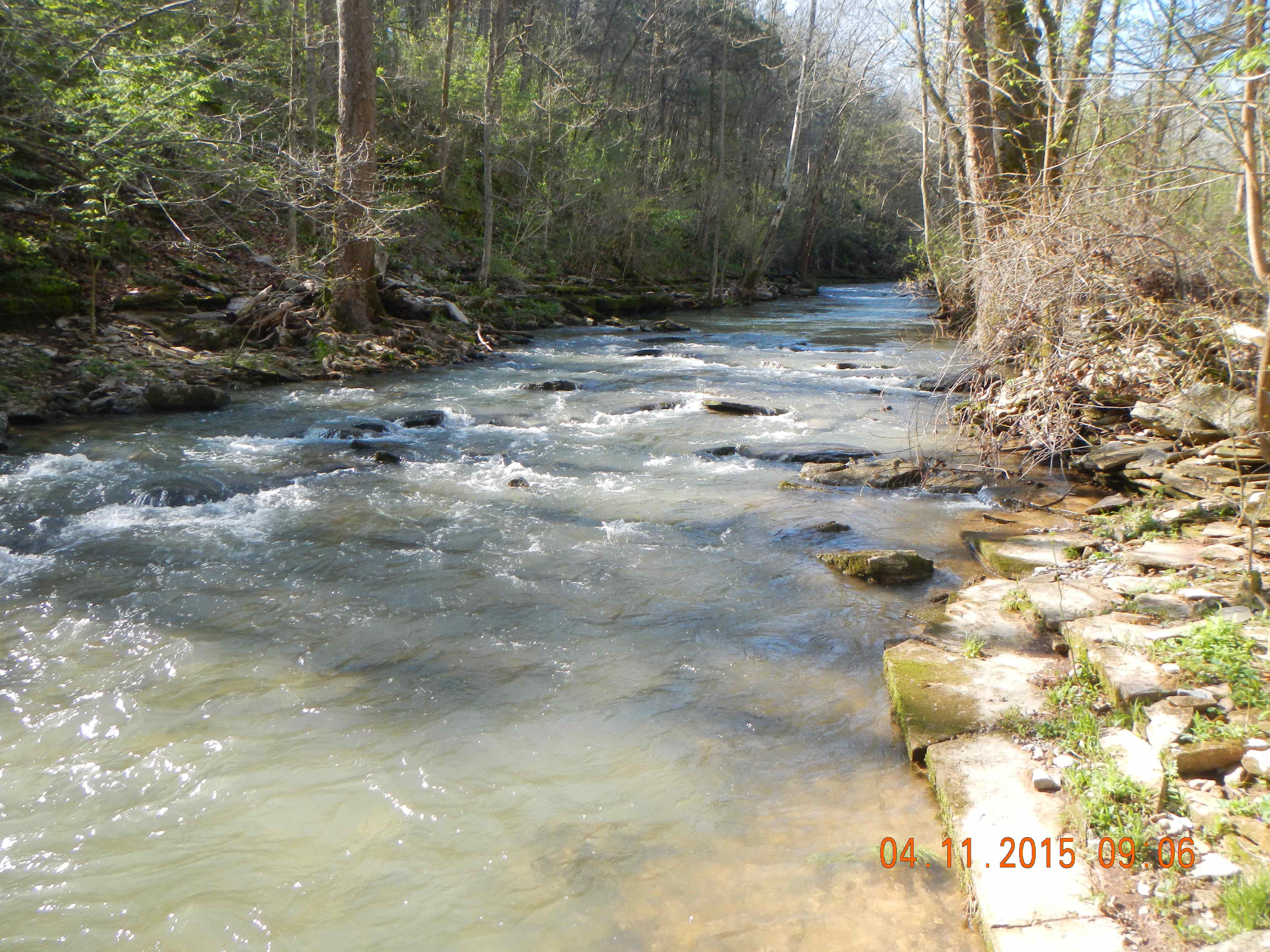
Shawnee Run, Kentucky
On the latest episode of Office Hours, Professor Kyra Hunting stops by to tell Brian and Sarah all about Media Arts and Studies. Join them in learning about the program, Professor Hunting's media research, and some things about your favorite type of media that you may not have known. And stick around as Betsy Beymer-Farris fills us in on her upcoming work in Tanzania.
Michele Bolduc is a PhD candidate at the University of Kentucky interested in the changing geographies of health and health care in rural places.
The University of Kentucky Office of Nationally Competitive Awards has announced that three of the university's students have been selected to receive government-funded National Science Foundation (NSF) Graduate Research Fellowships.
Rough cut viewing about a half hour in length of a UK-student-created documentary film, followed by a panel discussion. Viewing and discussion are open to the public, so bring a friend or two!