
water

RIVERS & TIPPING POINTS

Some have argued that in geomorphology and physical geography the term "tipping point" does not describe any concepts or phenomena not long recognized by the fields. The tipping point concept does not (it is argued) have any conceptual or analytical value added. I agree. Here is a previous post on tipping point metaphors.

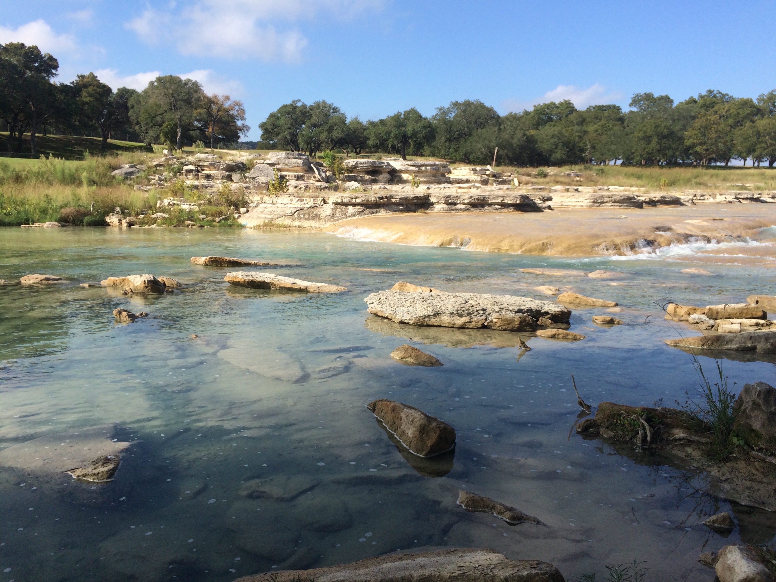
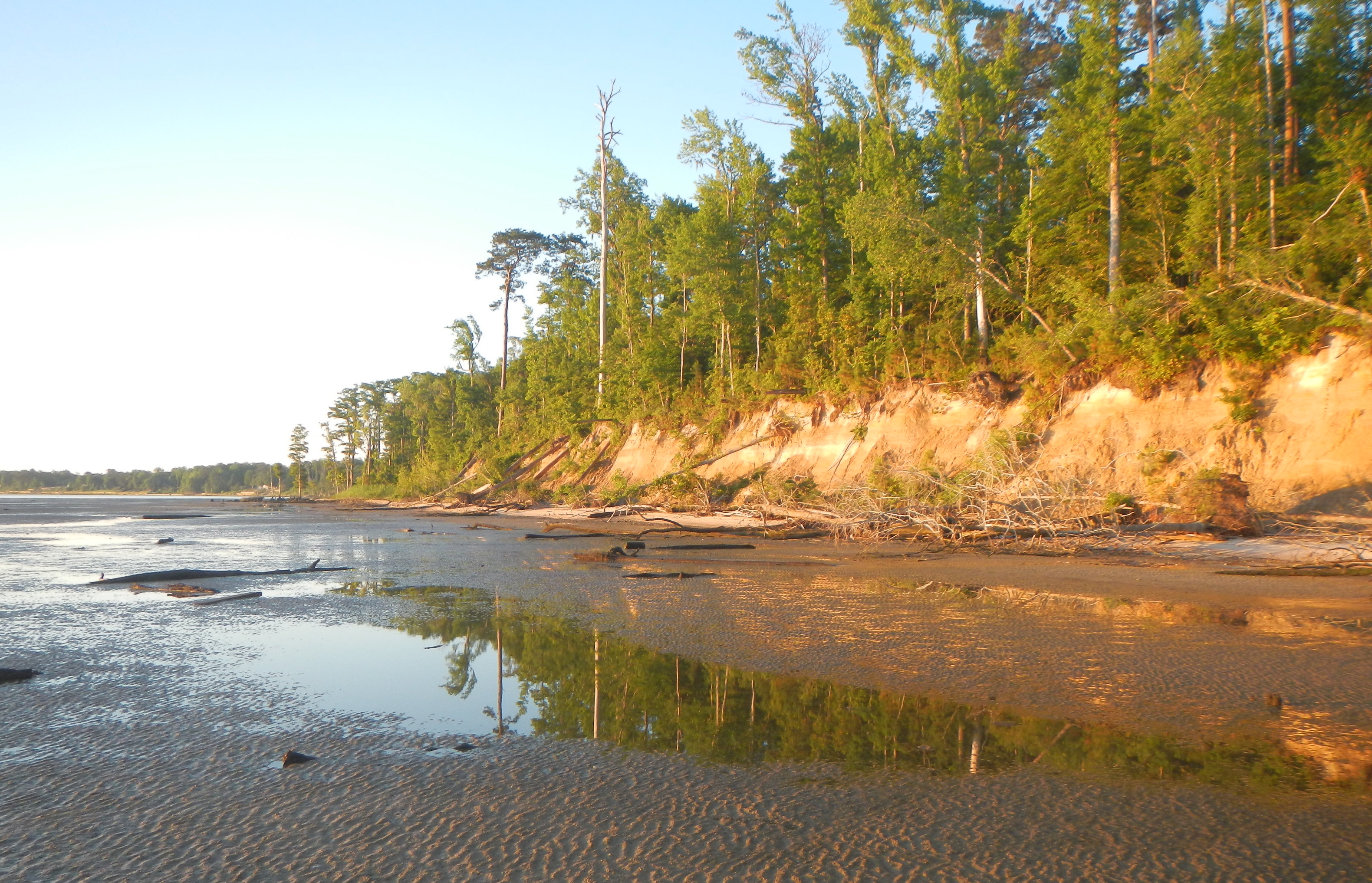
Blanco River, Texas.

Notwithstanding that, tipping point terminology is au courantin both public discourse and science, particularly as it relates to global and broad scale environmental change. Thus--perhaps analogously to buzzwords such as "sustainability" and "resilience"-- if you want to be a part of broader scientific conversations, it pays to employ the trendy term.

RISING SEAS & COASTAL RESPONSES

As sea level rises--and it is rising!--it is causing geomorphological, hydrological, and ecological changes in coastal environments. Though "bathtub" models, which show where the shoreline would be with sea level increased by a certain amount, are useful in showing areas of potential impact, that's not how actual responses to sea level work. Not only does the ocean level change, but also the base level for rivers and terrestrial processes, salinity, ecological habitats, hydroperiods, and any number of other factors. 

Sand and mud flats along the eroding Neuse River estuary shoreline, NC. 

HOTSPOTS OF LATERAL CHANNEL CHANGE

Recently I had the pleasure of visiting the geography department at Texas A&M, and during my trip I was able to revisit some field sites along the Navasota River I had last been to in 2006. The lower Navasota is basically an anastamosing system--there is a single dominant channel, but multiple subchannels, some active at normal and low flows, at any given valley cross-section. One place is particular, Democrat Crossing, is a particularly confusing locus of recent and ongoing channel change. 

2017 Google EarthTMimage of Democrat Crossing. Sand Creek is actually a perennial or active Navasota River subchannel (semi-active means, in my lingo, that it usually carries flow, but may dry up in low-flow periods). Some of the subchannels have been highlighted with blue lines I added, as you can't really see them if you don't already know they are there. 

POWER LINES & FLOODPLAINS

As mentioned in my most recent post, in examining some of the imagery from recent floods in Texas, even in non-urban areas human infrastructure such as roads, levees, railways, and impoundments can profoundly influence flooding patterns and channel-floodplain hydrological and sediment connectivity. In several cases I noted that power line rights-of-way were zones of concentrated flow on the floodplain, which reminded me that I have seen similar phenomena elsewhere.

I am aware of work on the role of power lines in landscape ecology—as habitats, corridors, and as a factor in habitat fragmentation. I do not recall ever seeing anything about their role as channels or catch-basins for floodwater. The rights-of-way are typically vegetated, but often short, second-growth shrubs and grasses rather than the adjacent forests and trees. They may also be compacted enough to show slightly lower elevations than adjacent bottomland forests. In any case, they can clearly have strong local influences in channel-floodplain connectivity.

CONNECTIVITY & FLOODPLAIN INFRASTRUCTURE

Like many other river scientists and managers in recent years, I have occupied myself quite a bit with considerations of hydrological and sediment connectivity in fluvial systems. In my case, channel-floodplain connectivity in alluvial rivers has been a particular concern.

In examining some of the imagery obtained during floods in Texas following Hurricane Harvey, I was reminded of something that I would not have disputed but have never really focused on either—the profound effect of human structures and modifications on floodplain hydrology and geomorphology. In urbanized areas this has long been pretty obvious, but even in rural areas the effects can be striking.

The images below all came from the U.S. National Geodetic Survey (https://storms.ngs.noaa.gov/storms/harvey/index.html#7/28.400/-96.690). The imagery was acquired by the NOAA Remote Sensing Division, with an approximate ground sample distance for each pixel of 0.5 m. Images were collected near the peak of flooding in many cases.

AGGRESSIVE PASSIVE RESTORATION

Years ago, in my days at East Carolina University, M.A. student Don Belk (now a planner with the N.C. Department of Commerce) and I worked on issues related to hydrological restoration of artificially drained wetlands in eastern North Carolina. Basically, we found that something closely approaching the pre-drainage hydrology could be achieved in most cases by simply not maintaining the drainage ditches and canals (see this, that, and the other). In this flat, wet topography and humid subtropical climate the anthropic channels quickly accumulate sediment, organic debris, and living vegetation, losing their conveyance capacity and essentially becoming linear detention ponds in a few years. Thus, except for some local water table drawdown during dry spells in the vicinity of the ditches and canals, and whatever peat may have oxidized when the artificial drainage was working, the hydrology can be passively restored. If you don't believe me, ask someone who farms artificially-drained land in the N.C. coastal plain--they'll tell you they have to clean out the ditches every two to five years.

BRAZOS RIVER FLOOD

As I write, the lower Brazos River west of Houston, Texas, has been in flood for more than seven days, and is likely to remain that way another week, minimum. The peak five days ago occur occurred at a gage height of 52.65 feet at the Rosharon gaging station (third highest ever, going back more than a century), and is still only about four inches below that, and not dropping appreciably. At the next gaging station upstream, at Richmond, TX, the stage was the highest on record. On August 31, near the peak at Rosharon and with water levels still above the designated major flood stage, U.S. Geological Survey personnel went to the site and measured the flow.

Location of the Brazos River Rosharon gaging site.

LAPLACE'S ANGEL

Back in 1814, Pierre-Simon Laplace published a classic statement on causal determinism in science. If someone (a hypothetical or metaphorical demon, though Laplace's Demon is apparently a later embellishment; Laplace himself did not use the term) has perfect knowledge of the exact location and momentum of every atom in the universe, their future (and past) values at any time can be perfectly determined from classical mechanics.

MAKING PEACE WITH MACROPORES

The journal Hydrological Processes has recently been publishing a series of articles and commentaries in tribute to the estimable Keith Beven, the recently retired hydrologist from the University of Lancaster. One of his many fundamental contributions has consisted of drawing attention to the importance of, and making fundamental insight into, the phenomenon of macropores and preferential flows. One of those commentaries, by Markus Weiler, addressed these contributions as well as unresolved issues in understanding and simulating preferential flow.

No hillslope hydrologist, geomorphologist or pedologist would dispute the existence or frequent occurrence of preferential water flux in soils, or its importance in many cases at the scales of soil physics to hillslopes. However, Weiler points out that the observed differences in flow pathways at the pedon or hillslope scale are not necessarily detectable at the watershed scale. Does macropore flow matter at the catchment scale? Weiler's answer is yes, though he points out that many scientists believe otherwise.

Subscribe to water