
geography

LOCAL ANOMALY OR CULTURAL SHIFT?

In my experience, beer cans and bottles discarded as litter in the kinds of places where I recreate and do field work are about 80 percent Bud Light, 17 percent other undrinkable watery American light beers, and 3 percent all other brands combined. Recently, however, at a site along the Neuse River, North Carolina, the two dozen or so trash bottles I saw  on the ground included NO Bud Lights!

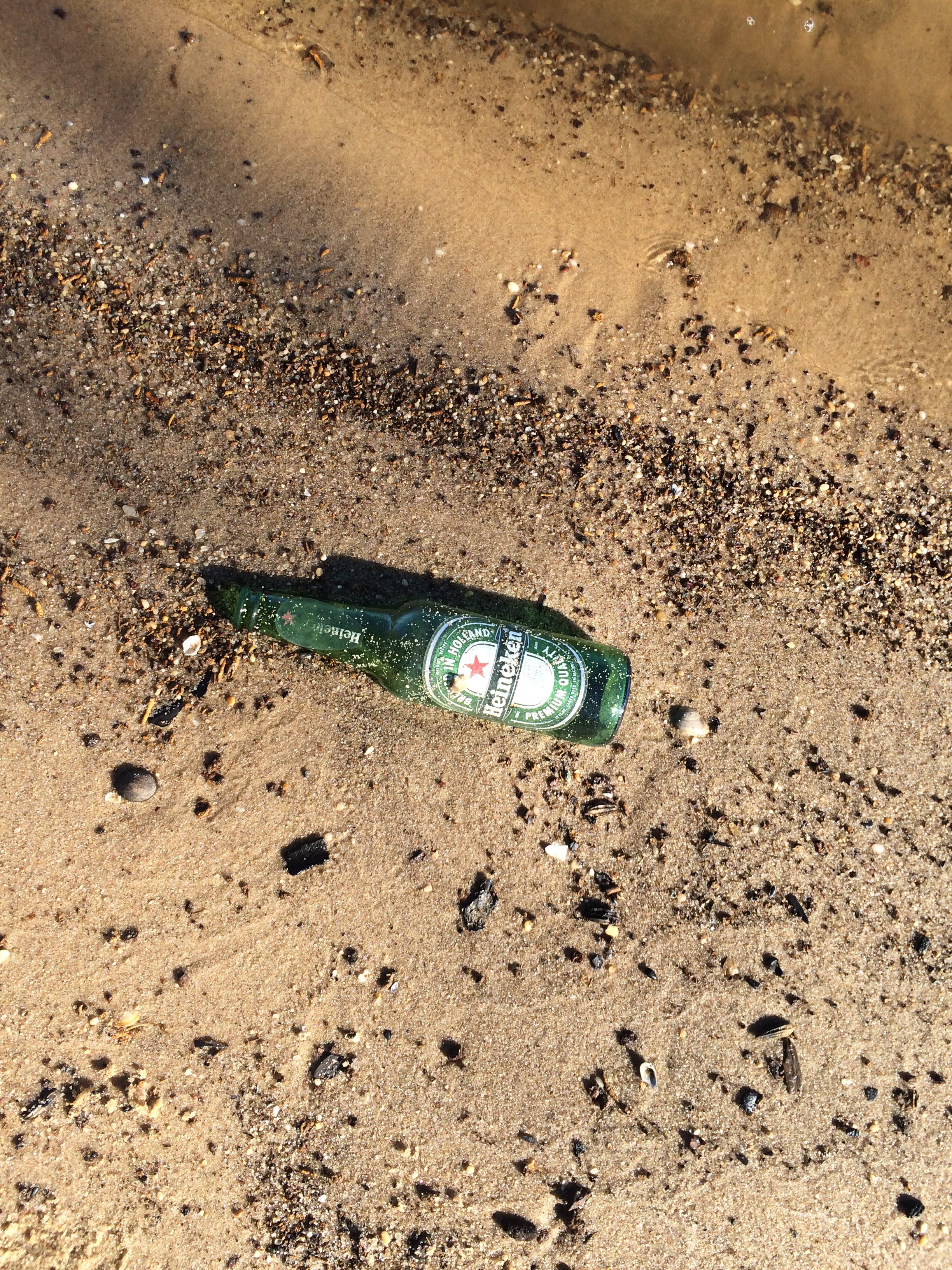
I am not well versed enough in contemporary cultural or economic geography to speculate as to whether this is a local anomaly, a shift in taste preferences for the kind of sh*tbag Bud Light drinkers who trash the countryside, or an expansion of litterbug behavior beyond the Lite beer crowd.

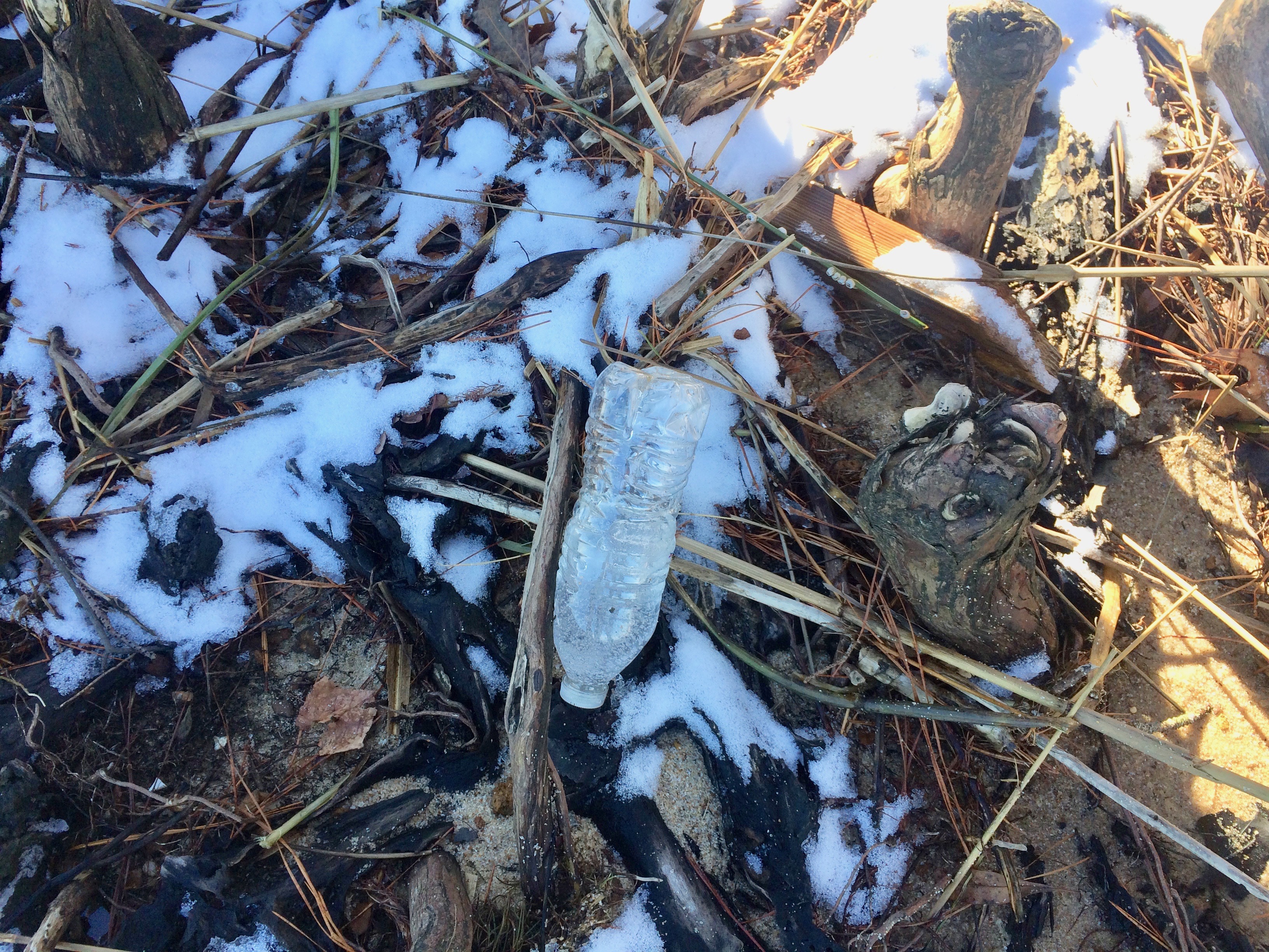
Of course, when it comes to beverage container trash, no brand of beer, soda pop, or anything else comes close to the mass or volume of plastic water bottles. Why don't you people use canteens, reusable bottles, or at least recycle these things?

Posted 22 January 2018


BIRTH OF FERRICRETES

Ferricretes are soil or sediments cemented together by iron oxides. In eastern North Carolina, reducing conditions often prevail on the broad, flat interfluves. Under these conditions Fe is reduced, and soluble. Groundwater flow from these areas toward the major river valleys transports this dissolved ferric iron. When the groundwater discharges along the valley side slope it comes in contact with oxygen, and the iron oxidizes to its ferrous form. These iron oxides coat whatever material exists at that location--sand, clay, etc.

Limonite ferricrete at Fishers Landing, NC. The piece at the top is about 40 cm long. 

PATH EXTINCTION & REINFORCEMENT

The development and change over time (evolution) of geomorphic, soil, hydrological, and ecosystems (Earth surface systems; ESS) is often, perhaps mostly, characterized by multiple potential developmental trajectories. That is, rather than an inevitable monotonic progression toward a single stable state or climax or mature form, often there exist multiple stable states or potentially unstable outcomes, and multiple possible developmental pathways. Until late in the 20th century, basic tenets of geosciences, ecology, and pedology emphasized single-path, single-outcome conceptual models such as classical vegetation succession; development of mature, climax, or zonal soils; or attainment of steady-state or some other form of stable equilibrium. As evidence accumulated of ESS evolution with, e.g., nonequilibrium dynamics, alternative stable states, divergent evolution, and path dependency, the "headline" was the existence of > 2 potential pathways, contesting and contrasting with the single-path frameworks. Now it is appropriate to address the question of why the number of actually observed pathways is relatively small.The purpose of this post is to explore why some developmental sequences are rare vs. common; why some are non-recurring (path extinction), and some are reinforced.

THE GEOMORPHOLOGICAL NICHE OF TREES

In a 2009 article I introduced the concept of a geomorphological niche, defined as the resources available to drive or support a particular geomorphic process (the concept has not caught on). The niche is defined in terms of a landscape evolution space (LES), given by

where H is height above a base level, rho is the density of the geological parent material, g is the gravity constant, and A is surface area. The k’s are factors representing the inputs of solar energy and precipitation, and Pgrepresents the geomorphically significant proportion of biological productivity (see this for the  background and justification).

POWER LINES & FLOODPLAINS

As mentioned in my most recent post, in examining some of the imagery from recent floods in Texas, even in non-urban areas human infrastructure such as roads, levees, railways, and impoundments can profoundly influence flooding patterns and channel-floodplain hydrological and sediment connectivity. In several cases I noted that power line rights-of-way were zones of concentrated flow on the floodplain, which reminded me that I have seen similar phenomena elsewhere.

I am aware of work on the role of power lines in landscape ecology—as habitats, corridors, and as a factor in habitat fragmentation. I do not recall ever seeing anything about their role as channels or catch-basins for floodwater. The rights-of-way are typically vegetated, but often short, second-growth shrubs and grasses rather than the adjacent forests and trees. They may also be compacted enough to show slightly lower elevations than adjacent bottomland forests. In any case, they can clearly have strong local influences in channel-floodplain connectivity.

CONNECTIVITY & FLOODPLAIN INFRASTRUCTURE

Like many other river scientists and managers in recent years, I have occupied myself quite a bit with considerations of hydrological and sediment connectivity in fluvial systems. In my case, channel-floodplain connectivity in alluvial rivers has been a particular concern.

In examining some of the imagery obtained during floods in Texas following Hurricane Harvey, I was reminded of something that I would not have disputed but have never really focused on either—the profound effect of human structures and modifications on floodplain hydrology and geomorphology. In urbanized areas this has long been pretty obvious, but even in rural areas the effects can be striking.

The images below all came from the U.S. National Geodetic Survey (https://storms.ngs.noaa.gov/storms/harvey/index.html#7/28.400/-96.690). The imagery was acquired by the NOAA Remote Sensing Division, with an approximate ground sample distance for each pixel of 0.5 m. Images were collected near the peak of flooding in many cases.

SELF-LIMITING ECOSYSTEM ENGINEERING IN NON-KARST REGOLITH

This is a follow-up to my previous post on emergent ecosystem engineering in epikarst, so I won't repeat much of the background or analytical details. There I argued that interactions among rock weathering, moisture flux, biological effects (particularly roots and their symbionts) and soil operate such that if weathering is moisture-limited, and biota are limited by water availability and below-ground space, the system is dynamically unstable. Positive feedbacks dominate so as to reinforce or accelerate dissolution, joint/fracture widening, root growth, and soil accumulation. The net effect is to develop the epikarst as increasingly hospitable habitat. This continues, according to the analysis, until weathering becomes reaction-limited and subsurface space and moisture are no longer significant limiting factors for plant growth. Under the latter circumstances the system is dynamically stable, implying resilience to relatively small changes or disturbances and slower change.

Subscribe to geography