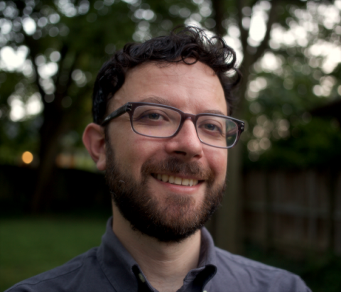
My two major areas of research focus on (1) studying policing practices, mostly in the United States, as they intersect with and are revealed through digital technologies and (2) developing speculative cartographies by building and theorizing tools that can expand the conceptual and aesthetic possibilities for geographic information systems (GIS). I use mixed methods to develop empirical, theoretical, and methodological contributions to understanding geographies of policing and situating mapping technologies within critical, humanistic, and social theoretical forms of inquiry. These two research trajectories emerge from discourses in critical GIS, digital geographies, spatial theory, visual studies, critical police geographies, and studies of state power.
My cartographic work builds on the following question: "What if GIS were built upon the epistemological and ontological commitments that tend to motivate contemporary human geography in particular—or even on the interpretative social sciences and theoretical arts and humanities more generally?" (Bergmann and Lally, 2020). More specifically, I ask (1) What would it mean for cartography and GIS to take seriously space as it has been theorized in human geography? and (2) How can cartography and GIS act as “primary modes of knowledge production” that exceed representation (Drucker 2020)? This research takes the form of software prototypes, artistic interventions, and theorizing the practices of cartography and GIS.
In my policing work, I ask: How can we disarticulate official, academic, and common-sense narratives that ascribe relationships between policing, criminality, race, class, and other processes of social differentiation (following Gilmore 2002)? I do this work largely through examining the narratives, technologies, and data of policing itself to develop critiques internal to policing's own logics.
I am accepting MA and PhD students who are interested in critical, social theoretical, humanistic, and/or experimental approaches to:
- Researching mapping techniques and technologies in use
- Building experimental cartographic and other visualization software
- Understanding state power, especially as expressed through policing (broadly defined)
- Studying digital technologies and their social and political effects
- Engaging with visual methods in geographic research
- Researching movements for social change, especially as they intersect with digital technologies
M.F.A. Digital Arts and New Media, University of California, Santa Cruz
B.S. Sociology and Fine Arts, University of Oregon
- Digital geographies
- Critical Cartography and GIS
- policing
- social theory
- software studies
- science and technology studies
- social movements
- urban geography
- Geography
- New Maps Plus
- New Mappings Collaboratory
- Social Theory
