
geography

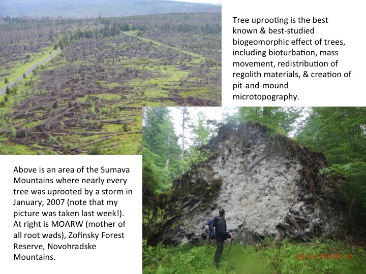
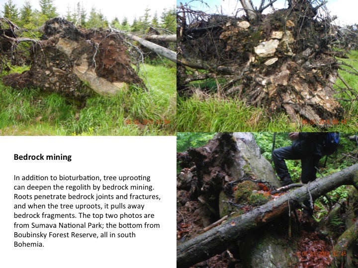
SOIL DEEPENING BY TREES

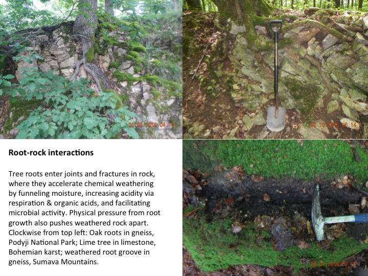
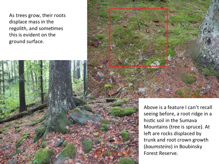
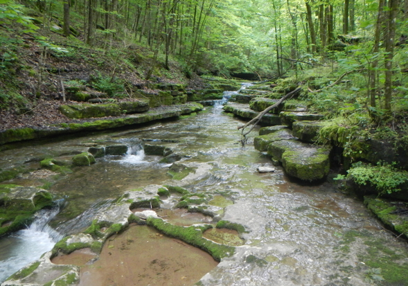
Where soils are relatively shallow, tree roots penetrate into the underlying bedrock through joints and fractures and promote weathering by funneling water into the rock, and facilitating chemical weathering. In addition to these processes, mass displacement by tree growth and bedrock "mining" by tree uprooting help deepen soils and regoliths. While this ihas been demonstrated in several studies, it was unclear the extent to which these processes occur where the bedrock is flat-bedded sedimentary rocks, which offter fewer vertically oriented joints for root access. Soil deepening by trees and the effects of parent material addresses this question (yes, the same general processes do occur in horizontally-bedded rocks). The paper, just out in Geomorphology (vol. 269, p. 1-7) by (mostly) Michael Shouse and myself, also provides some heretofore unprecedented spatial resolution on the spatial variability of soil & regolith thickness attributable to effects of individual trees. The abstract is below. 

Eighth Summer Institute in Economic Geography Held at UK

The University of Kentucky College of Arts and Scienceslast week hosted the Summer Institute in Economic Geography. With a 10-year history in supporting economic geography, the college and its Department of Geography welcomed young scholars from across the globe to Lexington. This is the first time the institute has returned to the U.S. since 2006 when it was hosted by the University of Wisconsin at Madison.


THE TAO OF THE RIVER

When more rain falls than the soil can absorb or plants can use, it has to go somewhere, and that movement is driven by gravity. Because concentrated flows are more efficient than sheet flows, concentrated and channelized flow paths are more likely to occur than diffuse flows. These pathways are also more likely to be reused, and to be enhanced by erosion associated with those flows. Similarly, when two of these threads of flow meet, they typically combine (less total surface area for the same amount of water = greater efficiency). Thus these channelized flows tend to form branching channel networks.

The formation of stream and river channels and networks is thus an emergent property of efficiency selection--those most efficient flow paths are more likely to arise in the first place and to be preserved and enhanced. The fact that most of these systems eventually lead to the sea (though globally, a surprisingly large minority drain to interior continental basins) is due to the fact that the flows are gravity driven, and for water, the ocean is the low point.

GEOMORPHIC IMPACTS OF TREES

I've just spent a couple of excellent weeks working on a project investigating biogeomorphic impacts of trees, particularly in old-growth forests. With Pavel Samonil (Forest Ecology Dept., Sylva Tarouc Inst., Brno) and his PhD student Pavel Danek, we visited a number of sites in the Czech Republic. There is much to be done--some of the impacts we identified have never been studied before; others have been studied enough to reveal some complex questions and uncertainties. A sampling of what we saw follows.


BEDROCK CHANNEL EROSION

There are four main mechanisms of bedrock channel erosion—abrasion, dissolution, cavitation, and weathering-and-plucking. The latter occurs when weathering along joints and bedding planes of the bedrock loosens slabs or clasts, which are then entrained (plucked) during high flows. Cavitation is difficult to observe or prove in the field, but likely occurs in the stream I visited this week, Raven Run (near Lexington, KY). The other mechanisms all clearly exist.

Weathering and plucking is the dominant erosion mechanism of the bedrock streams hereabouts—the photo shows the flat surfaces and angular features that result from weathering along the horizontal bedding planes of the limestone and the frequent vertical joints, and subsequent removal of the resulting slabs.

Raven Run, Kentucky.


Gonzo Geomorphology

I recently gave a talk at EGU called Vanishing Point: A Savage Journey to the Heart of the Scale Hierarchy (abstract here). The title is borrowed/inspired from the iconic 1971 movie Vanishing Point (director: Richard Sarafian) and the subtitle to Hunter S. Thompson’s 1971 Fear and Loathing in Las Vegas—A Savage Journey to the Heart of the American Dream.

The “vanishing point” terminology refers to methods to determine how far apart elements of a scale hierarchy have to be before they are no longer directly related. I attempted to justify the “savage journey” with the argument that the scale domain, as opposed to the spatial and temporal domain, is little explored and largely unknown.

Hunter S. Thompson, by Ralph Steadman (an illustrator who worked with HST; www.ralphsteadmanartcollection.com).

Subscribe to geography